


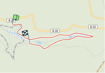

3.1 km | 3.6 km-effort


Tous les sentiers balisés d’Europe GUIDE+


FREE GPS app for hiking
 SityTrail
IGN / Geographical institutes
SityTrail World
The world is yours!
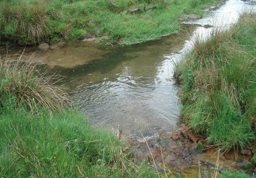
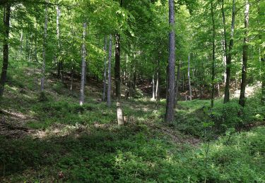
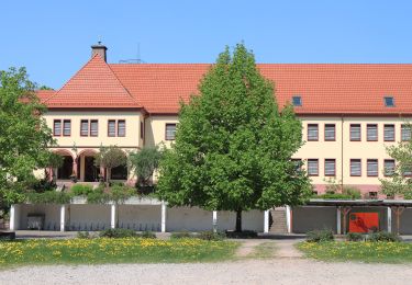
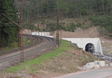
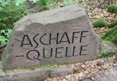
Trail On foot of 3.6 km to be discovered at Bavaria, Landkreis Aschaffenburg, Forst Hain im Spessart. This trail is proposed by SityTrail - itinéraires balisés pédestres.
Symbol: Hand mit gestrecktem Zeigefinger
On foot
On foot
On foot
On foot
On foot
On foot
On foot
On foot
On foot